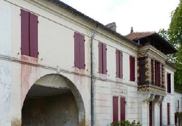
11.2 km | 13.6 km-effort
les leves
leglisemichel
User
Length
11.1 km
Max alt
118 m
Uphill gradient
192 m
Km-Effort
13.7 km
Min alt
48 m
Downhill gradient
194 m
Boucle
Yes
Creation date :
2019-11-24 13:05:07.62
Updated on :
2019-11-24 16:11:23.109
3h05
Difficulty : Very easy
FREE GPS app for hiking
About
Trail Walking of 11.1 km to be discovered at New Aquitaine, Gironde, Les Lèves-et-Thoumeyragues. This trail is proposed by leglisemichel.
Positioning
Country:
France
Region :
New Aquitaine
Department/Province :
Gironde
Municipality :
Les Lèves-et-Thoumeyragues
Location:
Unknown
Start:(Dec)
Start:(UTM)
276477 ; 4963786 (31T) N.
Comments
Trails nearby
Les Lèves par La Tour
Walking
Medium
Les Lèves-et-Thoumeyragues,
New Aquitaine,
Gironde,
France
2h 49min
Yes
Le circuit des moulins - Les Lèves-et-Thoumeyragues
Walking
Medium
(2)
Les Lèves-et-Thoumeyragues,
New Aquitaine,
Gironde,
France
10.3 km | 12.8 km-effort
2h 34min
Yes
Randonnée à Eynesse
Walking
Easy
Eynesse,
New Aquitaine,
Gironde,
France
3.9 km | 5.1 km-effort
1h 0min
Yes
De St Quentin de Caplong à Monsegur puis Coutures
Walking
Very difficult
Saint-Quentin-de-Caplong,
New Aquitaine,
Gironde,
France
33 km | 39 km-effort
6h 43min
No
Ste Foy-la-Grande à Pellegrue
Nordic walking
Difficult
Sainte-Foy-la-Grande,
New Aquitaine,
Gironde,
France
24 km | 28 km-effort
5h 8min
No
Port Ste Foy la Grande Saint Ferme
Walking
Easy
Pineuilh,
New Aquitaine,
Gironde,
France
23 km | 29 km-effort
4h 53min
No
Riocaud - Pellegrue
Walking
Riocaud,
New Aquitaine,
Gironde,
France
20 km | 24 km-effort
6h 33min
No